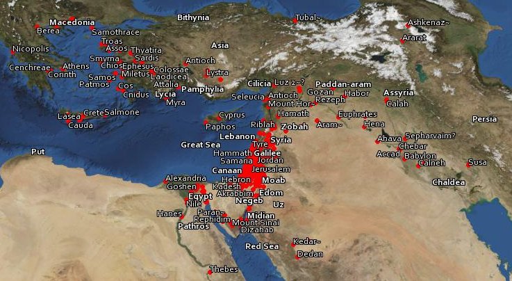
Bible Geocoding: The location of every identifiable place mentioned in the Bible.
Complete Bible. Also available: KMZs arranged by book and by chapter. Turn book or chapter layers on and off to see patterns across the Bible. Use Google Earth to open KML and KMZ files.
Atlas: the atlas lists all the places alphabetically, complete with thumbnails, verses, and photos (when available).
Overlays: overlays for Google Earth let you see how maps of ancient and modern Jerusalem fit satellite imagery.
Bodies of Water: download a KML with outlines of the most of the bodies of water in the Bible.
Photos: about 10,000 photos of places in the Bible. These photos use the Flickr and Panoramio APIs and are thus of varying quality—many of them just happen to be of people or places near the ancient locations. But a lot of the photos are quite helpful: see Beersheba, Capernaum, and Ur, for example. I recommend BiblePlaces.com for professional-quality photos of places in the Holy Land. Todd Bolen has done a fantastic job taking and collating photos.

